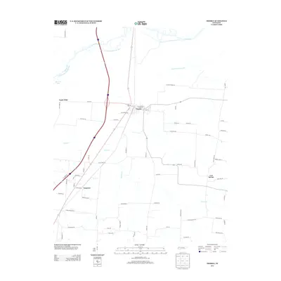
2013 Map of Trimble
USGS Topo · Published 2013About this map
Trimble and the surrounding agricultural lands of Dyer County are defined by a complex hydraulic system designed to manage the low-lying terrain. The Obion River flows across the northern reaches, flanked by the Old Obion River Drainage Canal and the newer Obion River Drainage Canal, reflecting long-term efforts to channelize the water for farmland reclamation. Smaller watercourses such as Reeds Cr, Mulherin Cr, and Parker Br drain the rural landscape between small settlements.
Find a feature on this map
69 named features on this map. Tap any name to fly to it.
Don’t see what you’re looking for? This feature index may not catch every label — zoom into the map to look around manually.
Map Details
Editions of this 2013 Trimble Map
This is the sole edition of this map. No revisions or reprints were ever made.
Other maps of this area

1925 · Reelfoot Lake
USGS Topo · 1:62,500

1939 · Reelfoot Lake
USGS Topo · 1:62,500

1939 · Dyersburg
USGS Topo · 1:62,500

1950 · Obion
USGS Topo · 1:24,000

1950 · Rives
USGS Topo · 1:24,000

1951 · Obion
USGS Topo · 1:24,000

1951 · Rives
USGS Topo · 1:24,000

1952 · Newbern
USGS Topo · 1:24,000

1952 · Lane
USGS Topo · 1:24,000

1956 · Reelfoot Lake
USGS Topo · 1:62,500