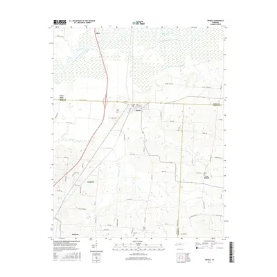
2016 Map of Trimble
USGS Topo · Published 2016About this map
Obion River and its accompanying Obion River Drainage Canal dominate the northern lowlands of this West Tennessee landscape, where the borders of Dyer, Obion, and Gibson counties meet. The settlement of Trimble sits at the heart of the map, served by a network of local roads like Co Line St and Obion St. To the south, the terrain transitions into more defined hills as it approaches Newbern, revealing a dispersed pattern of rural communities such as Templeton and Cool Springs.
Find a feature on this map
65 named features on this map. Tap any name to fly to it.
Don’t see what you’re looking for? This feature index may not catch every label — zoom into the map to look around manually.
Map Details
Editions of this 2016 Trimble Map
This is the sole edition of this map. No revisions or reprints were ever made.
Other maps of this area

1925 · Reelfoot Lake
USGS Topo · 1:62,500

1939 · Reelfoot Lake
USGS Topo · 1:62,500

1939 · Dyersburg
USGS Topo · 1:62,500

1950 · Obion
USGS Topo · 1:24,000

1950 · Rives
USGS Topo · 1:24,000

1951 · Obion
USGS Topo · 1:24,000

1951 · Rives
USGS Topo · 1:24,000

1952 · Newbern
USGS Topo · 1:24,000

1952 · Lane
USGS Topo · 1:24,000

1956 · Reelfoot Lake
USGS Topo · 1:62,500