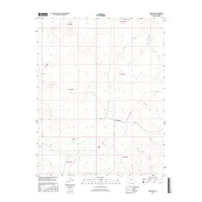
2016 Map of Trinchera
USGS Topo · Published 2016About this map
Trinchera and the small settlement of Rito Azul anchor this high-plains landscape in southern Las Animas County, defined by a complex network of water management features. The irrigation history of the region is evident through the winding paths of the Trinchera Company Ditch, Newcomb Ditch, Hart Ditch, and Border Ditch, which redirect water from natural drainages like Trinchera Cr and Salt Cr. These man-made channels highlight the necessity of water engineering for local agriculture and settlement in this semi-arid environment.
Find a feature on this map
37 named features on this map. Tap any name to fly to it.
Don’t see what you’re looking for? This feature index may not catch every label — zoom into the map to look around manually.
Map Details
Editions of this 2016 Trinchera Map
This is the sole edition of this map. No revisions or reprints were ever made.
Other maps of this area

1891 · Mesa De Maya
USGS Topo · 1:125,000

1892 · Elmoro
USGS Topo · 1:125,000

1893 · Elmoro
USGS Topo · 1:125,000

1893 · Mesa de Maya
USGS Topo · 1:125,000

1897 · Elmoro
USGS Topo · 1:125,000

1954 · Raton
USGS Topo · 1:250,000

1954 · Trinidad
USGS Topo · 1:250,000

1954 · Dalhart
USGS Topo · 1:250,000

1955 · La Junta
USGS Topo · 1:250,000

1955 · Trinidad
USGS Topo · 1:250,000