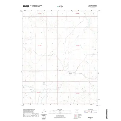
2019 Map of Trinchera
USGS Topo · Published 2019About this map
The high-plains settlement of Trinchera serves as the central point of this landscape, situated along the banks of Trinchera Cr and Salizar Arroyo. This arid region in Las Animas County is defined by a complex network of water management features, including the Trinchera Company Ditch, Newcomb Ditch, Hart Ditch, and Border Ditch, which reflect the area's agricultural reliance on diverted flows from local creeks like Rito Azul and Salt Cr. Notable topographical landmarks such as Nola Butte and Plaza Butte rise above the surrounding terrain, providing orientation across the vast township and range system. For local historians and genealogists, the map identifies three distinct burial sites: Nola Cem, Trinchera Cem, and Trinchera Plaza Cem, which point to the distributed nature of early habitation and community centers in this portion of southern Colorado.
Find a feature on this map
36 named features on this map. Tap any name to fly to it.
Don’t see what you’re looking for? This feature index may not catch every label — zoom into the map to look around manually.
Map Details
Editions of this 2019 Trinchera Map
This is the sole edition of this map. No revisions or reprints were ever made.
Other maps of this area
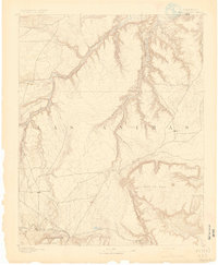
1891 · Mesa De Maya
USGS Topo · 1:125,000
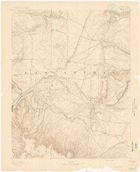
1892 · Elmoro
USGS Topo · 1:125,000
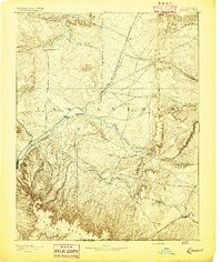
1893 · Elmoro
USGS Topo · 1:125,000
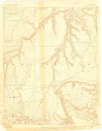
1893 · Mesa de Maya
USGS Topo · 1:125,000
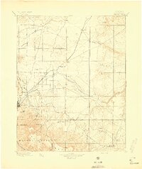
1897 · Elmoro
USGS Topo · 1:125,000

1954 · Raton
USGS Topo · 1:250,000
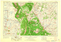
1954 · Trinidad
USGS Topo · 1:250,000
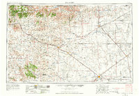
1954 · Dalhart
USGS Topo · 1:250,000
1955 · La Junta
USGS Topo · 1:250,000
1955 · Trinidad
USGS Topo · 1:250,000