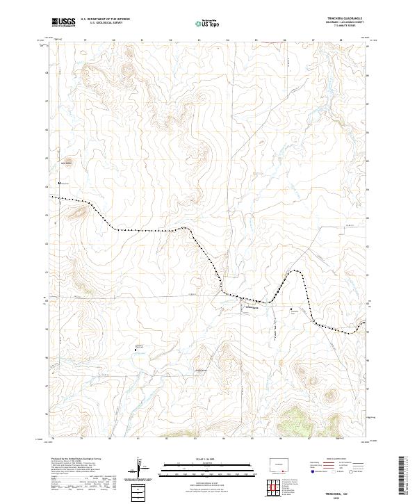
2022 Map of Trinchera
USGS Topo · Published 2022About this map
Trinchera serves as the focal point of this high-plains landscape, where the confluence of several arroyos and creeks defines the settlement pattern. The local geography is heavily influenced by water management, seen in the presence of the Newcomb Ditch, Border Ditch, and the Trinchera Company Ditch, which redirect flow across the arid terrain. These irrigation systems, alongside the Hart Ditch, suggest a history of agricultural efforts in the shadow of prominent landmarks like Nola Butte and Plaza Butte.
Find a feature on this map
36 named features on this map. Tap any name to fly to it.
Don’t see what you’re looking for? This feature index may not catch every label — zoom into the map to look around manually.
Map Details
Editions of this 2022 Trinchera Map
This is the sole edition of this map. No revisions or reprints were ever made.
Other maps of this area

1891 · Mesa De Maya
USGS Topo · 1:125,000

1892 · Elmoro
USGS Topo · 1:125,000

1893 · Elmoro
USGS Topo · 1:125,000

1893 · Mesa de Maya
USGS Topo · 1:125,000

1897 · Elmoro
USGS Topo · 1:125,000

1954 · Raton
USGS Topo · 1:250,000

1954 · Trinidad
USGS Topo · 1:250,000

1954 · Dalhart
USGS Topo · 1:250,000

1955 · La Junta
USGS Topo · 1:250,000

1955 · Trinidad
USGS Topo · 1:250,000