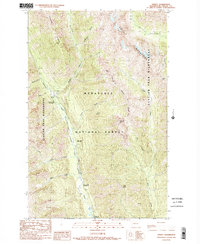
1988 Map of Trinity
USGS Topo · Published 1988About this map
Red Mountain Mine and the small settlement of Trinity stand as focal points for human activity in this remote high-country landscape during the late 1980s. Located within the Wenatchee National Forest, this area is defined by the steep drainage of the Chiwawa River and the towering heights of the Entiat Mountains. The map documents a transition in land use, showing the protected Glacier Peak Wilderness boundary as it interfaces with established recreation sites like Phelps Creek Campground and Alpine Meadows Campground. Notable geographic markers such as Phelps Ridge and Old Gib Mtn dominate the topography. This survey captures a specific era of forest management and mining interest before further environmental shifts altered the accessibility of these mountain drainages.
Find a feature on this map
28 named features on this map. Tap any name to fly to it.
Don’t see what you’re looking for? This feature index may not catch every label — zoom into the map to look around manually.
Map Details
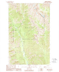
Editions of this 1988 Trinity Map
2 editions found
Other maps of this area

1901 · Chiwaukum
USGS Topo · 1:125,000

1902 · Stehekin
USGS Topo · 1:125,000

1904 · Stehekin
USGS Topo · 1:125,000

1904 · Chiwaukum
USGS Topo · 1:125,000

1944 · Holden
USGS Topo · 1:62,500

1944 · Lucerne
USGS Topo · 1:62,500

1949 · Lucerne
USGS Topo · 1:62,500

1949 · Holden
USGS Topo · 1:62,500

1955 · Concrete
USGS Topo · 1:250,000

1957 · Wenatchee
USGS Topo · 1:250,000