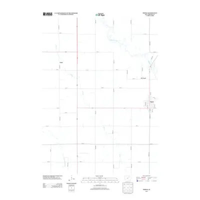
2013 Map of Tripoli
USGS Topo · Published 2013About this map
Tripoli and its predecessor, Old Tripoli, anchor this portion of Bremer County along the winding path of the Wapsipinicon River. The landscape is defined by the agricultural grid of the Iowa interior, where long-established townships are partitioned by thoroughfares like Killdeer Ave and Midway Ave. The settlement at Seigel sits in the northwest, serving as a secondary waypoint within the section-line road network. Drainage across these productive plains is managed by a series of waterways, most notably Crane Cr and the descriptively named Quarter Section Run, which cut diagonally through the structured township layouts. This map reveals the modern footprint of a rural community that has shifted its center of gravity over time while maintaining the rigid geometric order of the Midwestern prairie.
Find a feature on this map
33 named features on this map. Tap any name to fly to it.
Don’t see what you’re looking for? This feature index may not catch every label — zoom into the map to look around manually.
Map Details
Editions of this 2013 Tripoli Map
This is the sole edition of this map. No revisions or reprints were ever made.
Other maps of this area

1954 · Waterloo
USGS Topo · 1:250,000

1955 · Waterloo
USGS Topo · 1:250,000

1963 · Waverly
USGS Topo · 1:24,000

1963 · Denver
USGS Topo · 1:24,000

1971 · Readlyn
USGS Topo · 1:24,000

1971 · Bremer
USGS Topo · 1:24,000

1971 · Sumner SW
USGS Topo · 1:24,000

1971 · Tripoli NW
USGS Topo · 1:24,000

1971 · Fredericksburg
USGS Topo · 1:24,000

1971 · Frederika
USGS Topo · 1:24,000