
1963 Map of Waverly
USGS Topo · Published 1964About this map
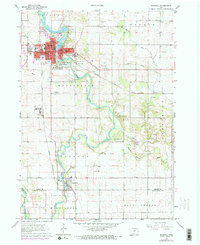
The Cedar River flows through the heart of Waverly, defining the development of this Bremer County seat during the early 1960s. The map highlights a robust educational and civic infrastructure, anchored by the Wartburg College campus and various neighborhood institutions such as Lincoln Sch and Carey Sch. To the south, the village of Janesville sits at the confluence where the Shell Rock River joins the Cedar, marking a vital junction for local water drainage and early settlement patterns.
Find a feature on this map
48 named features on this map. Tap any name to fly to it.
Don’t see what you’re looking for? This feature index may not catch every label — zoom into the map to look around manually.
Map Details
Editions of this 1963 Waverly Map
Other maps of this area

1954 · Waterloo
USGS Topo · 1:250,000

1955 · Waterloo
USGS Topo · 1:250,000

1963 · Denver
USGS Topo · 1:24,000

1963 · Cedar Falls
USGS Topo · 1:24,000

1963 · Waterloo North
USGS Topo · 1:24,000

1971 · Shell Rock
USGS Topo · 1:24,000

1971 · Bremer
USGS Topo · 1:24,000

1971 · Plainfield
USGS Topo · 1:24,000

1971 · Tripoli
USGS Topo · 1:24,000
1971 · New Hartford
USGS Topo · 1:24,000