
1963 Map of Cedar Falls
USGS Topo · Published 1965About this map
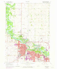
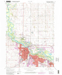
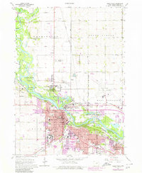
The Cedar River serves as the central artery for this mid-century look at Black Hawk County, winding between the burgeoning industrial and academic centers of Cedar Falls and Waterloo. The map highlights a significant period for the State Teachers College, today known as the University of Northern Iowa, surrounded by a dense network of neighborhood schools like Laboratory High Sch and Lincoln Sch. Along the riverbanks, large recreational and conservation areas such as George Wyth Memorial State Park and Black Hawk Park stand in contrast to the heavy rail infrastructure of the Illinois Central Railroad and the Chicago Rock Island and Pacific.
Find a feature on this map
55 named features on this map. Tap any name to fly to it.
Don’t see what you’re looking for? This feature index may not catch every label — zoom into the map to look around manually.
Map Details
Editions of this 1963 Cedar Falls Map
4 editions found
Other maps of this area

1954 · Waterloo
USGS Topo · 1:250,000

1955 · Waterloo
USGS Topo · 1:250,000

1963 · Waverly
USGS Topo · 1:24,000

1963 · Denver
USGS Topo · 1:24,000

1963 · Hudson
USGS Topo · 1:24,000

1963 · Waterloo South
USGS Topo · 1:24,000

1963 · Waterloo North
USGS Topo · 1:24,000

1971 · Zaneta
USGS Topo · 1:24,000

1971 · Shell Rock
USGS Topo · 1:24,000
1971 · New Hartford
USGS Topo · 1:24,000