
1963 Map of Waterloo South
USGS Topo · Published 1964About this map
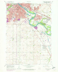
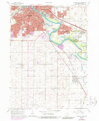
The Cedar River cuts a prominent path through the industrial and residential heart of this mid-century landscape, revealing the spatial organization of Waterloo and Evansdale during a period of significant post-war growth. The urban grid is dense with civic infrastructure, featuring a high concentration of educational institutions like West High Sch and Columbus High Sch, alongside numerous neighborhood parks such as Hope Martin Memorial Park. A robust transportation network is evident, where the Illinois Central and Chicago Rock Island and Pacific railroads intersect with the river's course, dictating the placement of early gravel pits and industrial zones.
Find a feature on this map
63 named features on this map. Tap any name to fly to it.
Don’t see what you’re looking for? This feature index may not catch every label — zoom into the map to look around manually.
Map Details
Editions of this 1963 Waterloo South Map
3 editions found
Other maps of this area

1954 · Waterloo
USGS Topo · 1:250,000

1955 · Waterloo
USGS Topo · 1:250,000

1963 · Buckingham
USGS Topo · 1:24,000

1963 · Hudson
USGS Topo · 1:24,000

1963 · Eagle Center
USGS Topo · 1:24,000

1963 · Cedar Falls
USGS Topo · 1:24,000

1963 · Waterloo North
USGS Topo · 1:24,000

1971 · Gilbertville
USGS Topo · 1:24,000

1971 · La Porte City
USGS Topo · 1:24,000

1971 · Dunkerton
USGS Topo · 1:24,000