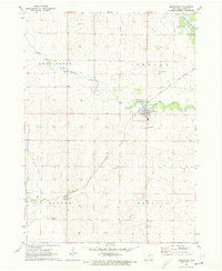
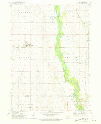
1971 Map of Dunkerton
USGS Topo · Published 1973About this map
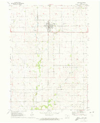
Dunkerton serves as the focal point of this Black Hawk County landscape, situated where Crane Creek winds through the townships of Lester and Bennington. The 1971 data illustrates a rural Iowa economy transitioning through the mid-century, evidenced by the presence of Davis Airfield and several industrial markers like the Quarry and various Gravel Pits along the waterways. The Chicago and North Western railroad provides a diagonal corridor through the region, connecting the small settlement of Dewar to the larger rail network.
Find a feature on this map
25 named features on this map. Tap any name to fly to it.
Don’t see what you’re looking for? This feature index may not catch every label — zoom into the map to look around manually.
Map Details
Editions of this 1971 Dunkerton Map
This is the sole edition of this map. No revisions or reprints were ever made.
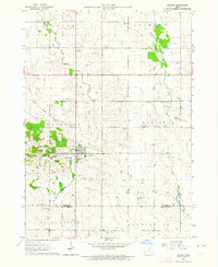
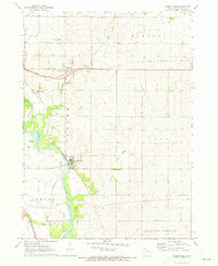
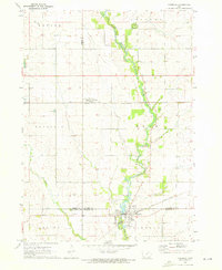
Other maps of this area

1954 · Waterloo
USGS Topo · 1:250,000

1955 · Waterloo
USGS Topo · 1:250,000
1963 · Denver
USGS Topo · 1:24,000
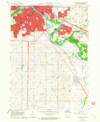
1963 · Waterloo South
USGS Topo · 1:24,000
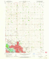
1963 · Waterloo North
USGS Topo · 1:24,000
1971 · Readlyn
USGS Topo · 1:24,000
1971 · Gilbertville
USGS Topo · 1:24,000
1971 · Fairbank
USGS Topo · 1:24,000
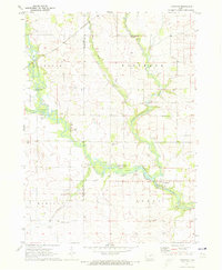
1971 · Littleton
USGS Topo · 1:24,000
1971 · Jesup
USGS Topo · 1:24,000