
1971 Map of Gilbertville
USGS Topo · Published 1973About this map
Cedar River meanders through the heart of Black Hawk County in this early 1970s survey, where the small community of Gilbertville anchors the southeastern riverbank. The landscape reflects a mix of traditional agriculture and industrial extraction, noted by several active Quarry and Gravel Pit sites near the Waterloo Corp Bdy. Transport networks dominate the northern half of the sheet, where the Illinois Central railroad cuts through Raymond, while the Chicago Rock Island and Pacific tracks follow the river valley further south. Cultural landmarks like the Township Cem and local developments such as the Trailer Park provide specific points of interest for genealogists tracing family roots in Poyner and Barclay townships. The map clearly delineates the drainages of Poyner Creek and Indian Creek as they converge toward the larger river system.
Find a feature on this map
24 named features on this map. Tap any name to fly to it.
Don’t see what you’re looking for? This feature index may not catch every label — zoom into the map to look around manually.
Map Details
Editions of this 1971 Gilbertville Map
This is the sole edition of this map. No revisions or reprints were ever made.
Other maps of this area

1954 · Waterloo
USGS Topo · 1:250,000

1955 · Waterloo
USGS Topo · 1:250,000

1963 · Waterloo South
USGS Topo · 1:24,000

1963 · Eagle Center
USGS Topo · 1:24,000

1963 · Waterloo North
USGS Topo · 1:24,000

1971 · La Porte City
USGS Topo · 1:24,000
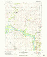
1971 · Brandon
USGS Topo · 1:24,000

1971 · Dunkerton
USGS Topo · 1:24,000

1971 · Littleton
USGS Topo · 1:24,000
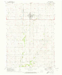
1971 · Jesup
USGS Topo · 1:24,000