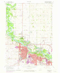
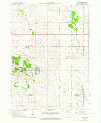
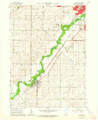
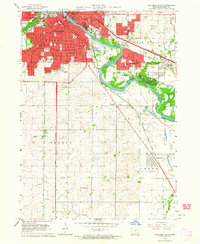
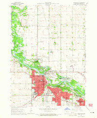
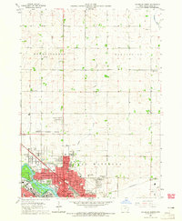
1963 Map of Cedar Falls
USGS Topo · Published 1973About this map
The confluence of the West Fork Cedar River and the Cedar River dominates this mid-century landscape, where industrial progress meets expansive parklands. Cedar Falls is shown in considerable detail, revealing a dense network of educational institutions such as the Univ of Northern Iowa and Cedar Falls High Sch. The presence of numerous sandpits and gravel pits along the riverbanks, particularly near Deadmans Island, points to the active extraction industries supporting the growth of Waterloo and its neighboring suburbs.
Find a feature on this map
62 named features on this map. Tap any name to fly to it.
Don’t see what you’re looking for? This feature index may not catch every label — zoom into the map to look around manually.
Map Details
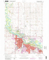
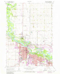
Editions of this 1963 Cedar Falls Map
4 editions found
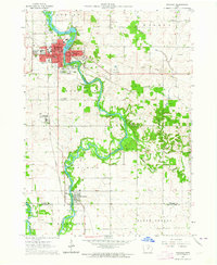
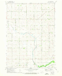
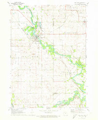
Other maps of this area

1954 · Waterloo
USGS Topo · 1:250,000

1955 · Waterloo
USGS Topo · 1:250,000
1963 · Waverly
USGS Topo · 1:24,000
1963 · Denver
USGS Topo · 1:24,000
1963 · Hudson
USGS Topo · 1:24,000
1963 · Waterloo South
USGS Topo · 1:24,000
1963 · Cedar Falls
USGS Topo · 1:24,000
1963 · Waterloo North
USGS Topo · 1:24,000
1971 · Zaneta
USGS Topo · 1:24,000
1971 · Shell Rock
USGS Topo · 1:24,000