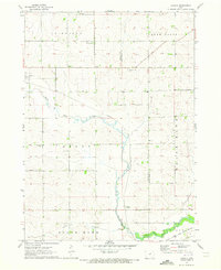
1971 Map of Zaneta
USGS Topo · Published 1973About this map
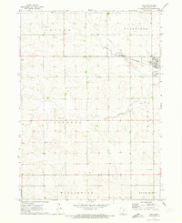
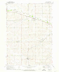
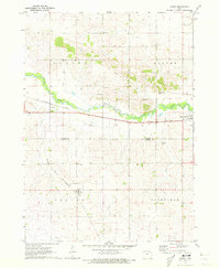
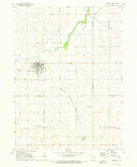
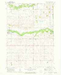
Dike sits at the western edge of this agricultural landscape, where the Chicago and North Western railroad cuts a diagonal line toward the southeast. The terrain is defined by the winding course of Black Hawk Creek and its tributaries, including Willow Creek and the North Fork. This early 1970s survey captures the rural character of the border between Grundy and Black Hawk Counties, documenting small communities and crossroads that served the surrounding farmstead network.
Find a feature on this map
17 named features on this map. Tap any name to fly to it.
Don’t see what you’re looking for? This feature index may not catch every label — zoom into the map to look around manually.
Map Details
Editions of this 1971 Zaneta Map
This is the sole edition of this map. No revisions or reprints were ever made.
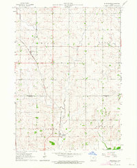
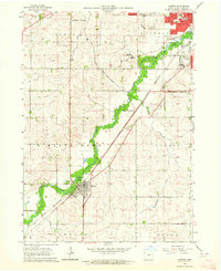
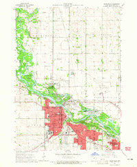
Other maps of this area

1954 · Waterloo
USGS Topo · 1:250,000

1955 · Waterloo
USGS Topo · 1:250,000
1963 · Buckingham
USGS Topo · 1:24,000
1963 · Hudson
USGS Topo · 1:24,000
1963 · Cedar Falls
USGS Topo · 1:24,000
1971 · Dike
USGS Topo · 1:24,000
1971 · Lincoln
USGS Topo · 1:24,000
1971 · Stout
USGS Topo · 1:24,000
1971 · Reinbeck
USGS Topo · 1:24,000
1971 · New Hartford
USGS Topo · 1:24,000