
1971 Map of Stout
USGS Topo · Published 1973About this map
Beaver Creek carves a winding path across this north-central Iowa landscape, defining the topography of the borderlands between Butler and Grundy Counties in the early 1970s. The settlement pattern is anchored by small rural hubs like Stout and New Hartford, which grew along the vital transportation corridors of the era. The presence of both the Illinois Central and the Chicago and North Western railroads highlights the region's historical reliance on rail for moving agricultural goods and connecting these prairie communities. Local history is etched into the land at sites like Beaver Grove Cem and Township Cem, while the industrial footprint is visible at a localized Sandpit north of the creek. The map captures the transition from the rolling terrain of Albion and Beaver townships down to the flatter stretches of Fairfield, illustrating a classic Midwestern agricultural grid punctuated by small-town rail stops like Sinclair and Swanton.
Find a feature on this map
14 named features on this map. Tap any name to fly to it.
Don’t see what you’re looking for? This feature index may not catch every label — zoom into the map to look around manually.
Map Details
Editions of this 1971 Stout Map
This is the sole edition of this map. No revisions or reprints were ever made.
Other maps of this area

1954 · Waterloo
USGS Topo · 1:250,000

1955 · Waterloo
USGS Topo · 1:250,000

1971 · Zaneta
USGS Topo · 1:24,000

1971 · Shell Rock
USGS Topo · 1:24,000

1971 · Dike
USGS Topo · 1:24,000

1971 · Coster
USGS Topo · 1:24,000
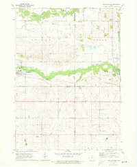
1971 · New Hartford
USGS Topo · 1:24,000

1979 · Holland
USGS Topo · 1:24,000

1979 · Butler Center
USGS Topo · 1:24,000
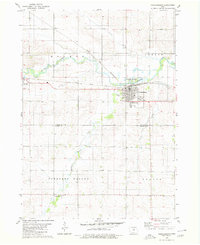
1980 · Parkersburg
USGS Topo · 1:24,000