1971 Map of Dike
USGS Topo · Published 1973About this map
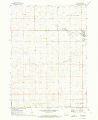
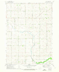
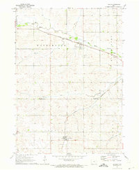
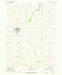
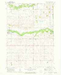
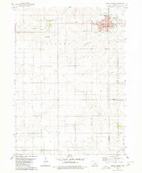
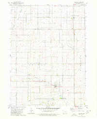
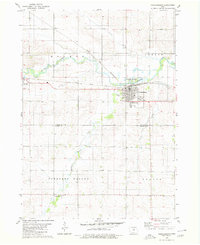
Dike serves as the primary municipal hub in this 1971 topographic study, situated along the eastern edge of Grundy County. The town's grid and development are closely tied to the Chicago and North Western railroad line, which cuts diagonally across the northeastern portion of the sheet. The landscape is defined by the rectilinear township boundaries of Fairfield, Lincoln, and Grant, reflecting the methodical agricultural partitioning of the Iowa prairie. Local communal life is anchored by landmarks such as Lincoln Center Ch and the Roadman Memorial Park. For those tracing family histories, the map identifies specific burial grounds like Elmwood Cem near the town center and a more remote Township Cem in the northwest corner, providing essential geographic context for the region's rural heritage.
Find a feature on this map
16 named features on this map. Tap any name to fly to it.
Don’t see what you’re looking for? This feature index may not catch every label — zoom into the map to look around manually.
Map Details
Editions of this 1971 Dike Map
This is the sole edition of this map. No revisions or reprints were ever made.
Other maps of this area

1954 · Waterloo
USGS Topo · 1:250,000

1955 · Waterloo
USGS Topo · 1:250,000
1971 · Zaneta
USGS Topo · 1:24,000
1971 · Lincoln
USGS Topo · 1:24,000
1971 · Stout
USGS Topo · 1:24,000
1971 · Reinbeck
USGS Topo · 1:24,000
1971 · New Hartford
USGS Topo · 1:24,000
1979 · Grundy Center
USGS Topo · 1:24,000
1979 · Holland
USGS Topo · 1:24,000
1980 · Parkersburg
USGS Topo · 1:24,000