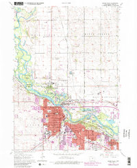
1963 Map of Cedar Falls
USGS Topo · Published 1980About this map
The Cedar River defines the mid-century landscape of this Black Hawk County region, winding through a complex of recreation and industry as urban expansion pushes toward the east. The river's path is marked by distinctive features like Deadmans Island and Island Park, while the expansive George Wyth Memorial State Park and Black Hawk Park preserve substantial riverfront acreage.
Find a feature on this map
63 named features on this map. Tap any name to fly to it.
Don’t see what you’re looking for? This feature index may not catch every label — zoom into the map to look around manually.
Map Details
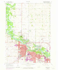
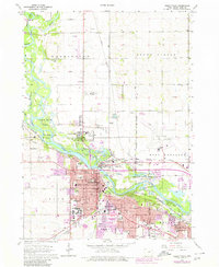
Editions of this 1963 Cedar Falls Map
4 editions found
Other maps of this area

1954 · Waterloo
USGS Topo · 1:250,000

1955 · Waterloo
USGS Topo · 1:250,000

1963 · Waverly
USGS Topo · 1:24,000

1963 · Denver
USGS Topo · 1:24,000

1963 · Hudson
USGS Topo · 1:24,000

1963 · Waterloo South
USGS Topo · 1:24,000

1963 · Cedar Falls
USGS Topo · 1:24,000

1963 · Waterloo North
USGS Topo · 1:24,000

1971 · Zaneta
USGS Topo · 1:24,000

1971 · Shell Rock
USGS Topo · 1:24,000