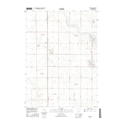
2015 Map of Tripoli
USGS Topo · Published 2015About this map
The Wapsipinicon River meanders through the northeastern reaches of this Bremer County landscape, providing a natural contrast to the rigid agricultural grid of the Iowa heartland. Near the center of the sheet, the city of Tripoli is the primary hub, showing a detailed street layout including 7th Ave SW and S Main St. The surrounding countryside is defined by the winding paths of Crane Creek and Quarter Section Run, which cut through the fertile farmland of the townships.
Find a feature on this map
47 named features on this map. Tap any name to fly to it.
Don’t see what you’re looking for? This feature index may not catch every label — zoom into the map to look around manually.
Map Details
Editions of this 2015 Tripoli Map
This is the sole edition of this map. No revisions or reprints were ever made.
Other maps of this area

1954 · Waterloo
USGS Topo · 1:250,000

1955 · Waterloo
USGS Topo · 1:250,000

1963 · Waverly
USGS Topo · 1:24,000

1963 · Denver
USGS Topo · 1:24,000

1971 · Readlyn
USGS Topo · 1:24,000

1971 · Bremer
USGS Topo · 1:24,000

1971 · Sumner SW
USGS Topo · 1:24,000

1971 · Tripoli NW
USGS Topo · 1:24,000

1971 · Fredericksburg
USGS Topo · 1:24,000

1971 · Frederika
USGS Topo · 1:24,000