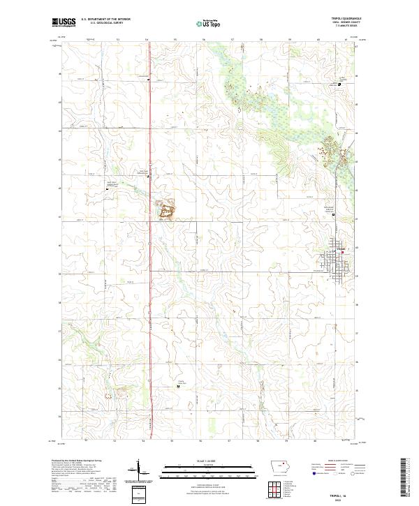
2022 Map of Tripoli
USGS Topo · Published 2022About this map
Tripoli sits at the intersection of local routes in Bremer County, surrounded by a landscape of established section lines and winding watercourses. The town’s grid is defined by streets like N Main St and 7th Ave SE, while the outlying areas are shaped by the meanders of the Wapsipinicon River and Crane Creek. This part of Iowa maintains a high density of small rural burial grounds and churchyards, which serve as primary markers of local heritage. Numerous sites such as Saint Pauls Lutheran Cem, Alcock Cem, and the Le Roy Township Cem are scattered across the townships, reflecting the generational settlement of the region. The map also identifies the County Farm Cem, a poignant reminder of the area’s social history and the location of former community institutions along Midway Ave.
Find a feature on this map
50 named features on this map. Tap any name to fly to it.
Don’t see what you’re looking for? This feature index may not catch every label — zoom into the map to look around manually.
Map Details
Editions of this 2022 Tripoli Map
This is the sole edition of this map. No revisions or reprints were ever made.
Other maps of this area

1954 · Waterloo
USGS Topo · 1:250,000

1955 · Waterloo
USGS Topo · 1:250,000

1963 · Waverly
USGS Topo · 1:24,000

1963 · Denver
USGS Topo · 1:24,000

1971 · Readlyn
USGS Topo · 1:24,000

1971 · Bremer
USGS Topo · 1:24,000

1971 · Sumner SW
USGS Topo · 1:24,000

1971 · Tripoli NW
USGS Topo · 1:24,000

1971 · Fredericksburg
USGS Topo · 1:24,000

1971 · Frederika
USGS Topo · 1:24,000