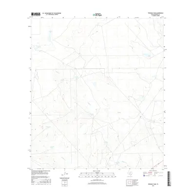
2016 Map of Trosado Tank
USGS Topo · Published 2016About this map
Salado Cr and its intermittent tributaries define the arid drainage patterns of this Maverick County landscape, where the management of water is essential to the ranching economy. The terrain is marked by a network of named water catchments and reservoirs, such as Trosado Tank, Pescado Tank, and Coyote Tank, which serve as vital landmarks in an otherwise open rangeland. Larger bodies like Roswell Lake and Saner Lake Number 3 provide more substantial water storage, while seasonal flows move through Mustang Cr and Chilipitin Cr toward the south and east. Transportation across these wide-open spaces is facilitated by FM 481, which cuts diagonally across the southeastern corner of the quadrangle, linking this remote ranching territory to the broader regional road network. The concentration of tanks like Welta Tank and Marranos Tank reflects a long history of human adaptation to the brush country of South Texas.
Find a feature on this map
16 named features on this map. Tap any name to fly to it.
Don’t see what you’re looking for? This feature index may not catch every label — zoom into the map to look around manually.
Map Details
Editions of this 2016 Trosado Tank Map
This is the sole edition of this map. No revisions or reprints were ever made.
Other maps of this area

1896 · Brackett
USGS Topo · 1:125,000

1897 · Brackett
USGS Topo · 1:125,000

1940 · Paloma
USGS Topo · 1:62,500

1940 · Chacon Creek
USGS Topo · 1:62,500

1944 · Spofford
USGS Topo · 1:62,500

1949 · Cline
USGS Topo · 1:62,500

1958 · Eagle Pass
USGS Topo · 1:250,000

1958 · Del Rio
USGS Topo · 1:250,000

1964 · Del Rio
USGS Topo · 1:250,000

1965 · Eagle Pass
USGS Topo · 1:250,000