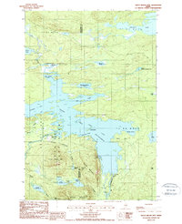
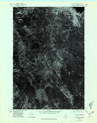
1988 Map of Trout Brook Mtn
USGS Topo · Published 1988About this map
Baxter State Park encompasses much of this interior Maine landscape, where the northern reaches of the Penobscot River watershed meet a dense network of glacial lakes and mountains. The presence of Trout Brook Farm and Littlefield near the center of the survey indicates established outposts in a region primarily defined by its timber and water resources. The topography is dominated by peaks like Trout Brook Mtn and Horse Mountain, which overlook the expansive Grand Lake Matagamon.
Find a feature on this map
44 named features on this map. Tap any name to fly to it.
Don’t see what you’re looking for? This feature index may not catch every label — zoom into the map to look around manually.
Map Details
Editions of this 1988 Trout Brook Mtn Map
2 editions found
Other maps of this area

1954 · Shin Pond
USGS Topo · 1:62,500

1954 · Millinocket Lake
USGS Topo · 1:62,500

1954 · Grand Lake Seboeis
USGS Topo · 1:62,500

1954 · Presque Isle
USGS Topo · 1:250,000

1955 · Traveler Mountain
USGS Topo · 1:62,500

1958 · Presque Isle
USGS Topo · 1:250,000

1960 · Presque Isle
USGS Topo · 1:250,000
1975 · The Traveler
USGS Topo · 1:24,000
1975 · Shin Pond SW
USGS Topo · 1:24,000
1975 · Shin Pond NW
USGS Topo · 1:24,000