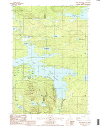
1988 Map of Trout Brook Mtn
USGS Topo · Published 1988About this map
Baxter State Park dominates this northern Maine landscape, where the confluence of the Penobscot River and several large lake systems define the wilderness character of the late 1980s. The map illustrates a complex network of waterways, including First Lake Matagamon and Second Lake, which are regulated by infrastructure like Norway Dam and Grand Lake Dam. The presence of small settlements such as Trout Brook Farm and Littlefield suggests the localized agricultural and forestry history of the region.
Find a feature on this map
48 named features on this map. Tap any name to fly to it.
Don’t see what you’re looking for? This feature index may not catch every label — zoom into the map to look around manually.
Map Details
Editions of this 1988 Trout Brook Mtn Map
2 editions found
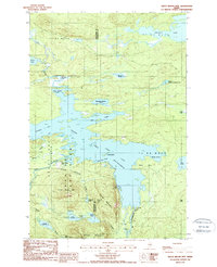
Other maps of this area

1954 · Shin Pond
USGS Topo · 1:62,500

1954 · Millinocket Lake
USGS Topo · 1:62,500

1954 · Grand Lake Seboeis
USGS Topo · 1:62,500

1954 · Presque Isle
USGS Topo · 1:250,000

1955 · Traveler Mountain
USGS Topo · 1:62,500

1958 · Presque Isle
USGS Topo · 1:250,000

1960 · Presque Isle
USGS Topo · 1:250,000
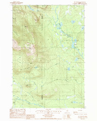
1975 · The Traveler
USGS Topo · 1:24,000

1975 · Shin Pond SW
USGS Topo · 1:24,000

1975 · Shin Pond NW
USGS Topo · 1:24,000