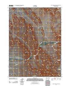
2011 Map of Trout Creek Canyon
USGS Topo · Published 2011About this map
Trout Creek Canyon serves as the central drainage feature in this high desert landscape of southeastern Oregon, where water sources dictate the placement of local infrastructure. Reservoirs and springs are critical landmarks here, including Chalk Canyon Reservoir and Stoney Spring Reservoir, alongside scattered water points like Buckskin Spring and L C Spring. These features supported the regional ranching economy that defined Harney County in the early 21st century.
Find a feature on this map
14 named features on this map. Tap any name to fly to it.
Don’t see what you’re looking for? This feature index may not catch every label — zoom into the map to look around manually.
Map Details
Editions of this 2011 Trout Creek Canyon Map
This is the sole edition of this map. No revisions or reprints were ever made.
Other maps of this area

1955 · Adel
USGS Topo · 1:250,000

1957 · Adel
USGS Topo · 1:250,000

1958 · Adel
USGS Topo · 1:250,000

1962 · Adel
USGS Topo · 1:250,000

1971 · Borax Lake
USGS Topo · 1:24,000
1980 · Windy Point
USGS Topo · 1:24,000
1981 · Colony Ranch
USGS Topo · 1:24,000
1981 · Tumtum Lake
USGS Topo · 1:24,000
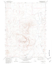
1981 · Red Mountain
USGS Topo · 1:24,000
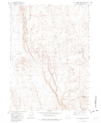
1981 · Red Lookout Butte
USGS Topo · 1:24,000