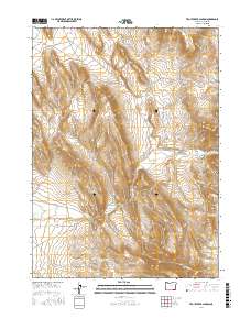
2017 Map of Trout Creek Canyon
USGS Topo · Published 2017About this map
Trout Creek Mountains dominate this high-desert terrain in Harney County, characterized by a complex system of drainage and volcanic buttes. The landscape is defined by deep incisions like Trout Creek Canyon and Rosebriar Canyon, where intermittent water sources such as Trout Cr and Antelope Cr carve through the arid plateau. Human presence is marked primarily by ranching infrastructure, with water management evidenced by the Chalk Canyon Reservoir and Stoney Spring Reservoir. Transport across this remote southeastern Oregon area relies on the Whitehorse Ranch Rd and the Old Trout Creek Rd, which provide access to significant landmarks like Lookout Butte and Flagstaff Butte. The map provides a detailed view of the public land survey system, illustrating the vast township and range divisions typical of the American West.
Find a feature on this map
21 named features on this map. Tap any name to fly to it.
Don’t see what you’re looking for? This feature index may not catch every label — zoom into the map to look around manually.
Map Details
Editions of this 2017 Trout Creek Canyon Map
This is the sole edition of this map. No revisions or reprints were ever made.
Other maps of this area

1955 · Adel
USGS Topo · 1:250,000

1957 · Adel
USGS Topo · 1:250,000

1958 · Adel
USGS Topo · 1:250,000

1962 · Adel
USGS Topo · 1:250,000

1971 · Borax Lake
USGS Topo · 1:24,000
1980 · Windy Point
USGS Topo · 1:24,000
1981 · Colony Ranch
USGS Topo · 1:24,000
1981 · Tumtum Lake
USGS Topo · 1:24,000
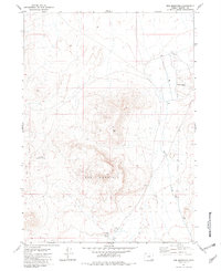
1981 · Red Mountain
USGS Topo · 1:24,000
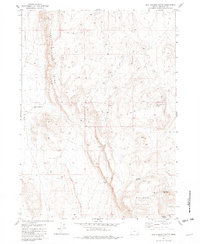
1981 · Red Lookout Butte
USGS Topo · 1:24,000