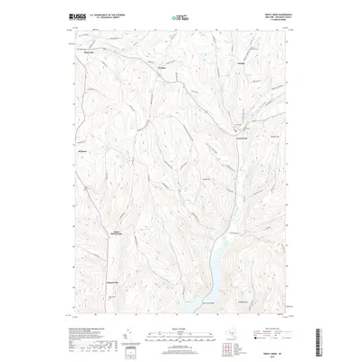
2019 Map of Trout Creek
USGS Topo · Published 2019About this map
Masonville and Trout Creek serve as the primary nodes of settlement in this northern Delaware County landscape, where the terrain is defined by steep hollows and narrow valley floors. The drainage pattern of Trout Creek and its various tributaries, including W Br Trout Cr and Sherruck Brook, dictates the placement of early roads and homesteads. The presence of several family-named burial grounds, such as the Austin Olmsted Cem and Carroll Cem, offers significant detail for genealogical research into the area's rural history.
Find a feature on this map
73 named features on this map. Tap any name to fly to it.
Don’t see what you’re looking for? This feature index may not catch every label — zoom into the map to look around manually.
Map Details
Editions of this 2019 Trout Creek Map
This is the sole edition of this map. No revisions or reprints were ever made.
Other maps of this area

1915 · Oneonta
USGS Topo · 1:62,500

1915 · Unadilla
USGS Topo · 1:62,500

1918 · Unadilla
USGS Topo · 1:62,500

1918 · Oneonta
USGS Topo · 1:62,500

1923 · Walton
USGS Topo · 1:48,000

1924 · Deposit
USGS Topo · 1:62,500

1925 · Walton
USGS Topo · 1:62,500

1926 · Deposit
USGS Topo · 1:62,500

1943 · Sidney
USGS Topo · 1:24,000

1943 · Franklin
USGS Topo · 1:24,000