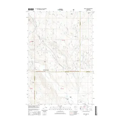
2014 Map of Trout Lake
USGS Topo · Published 2014About this map
Trout Lake Valley serves as the focal point of this mountainous landscape where Skamania, Yakima, and Klickitat counties meet. The settlement of Trout Lake is situated at the southern edge of the Gifford Pinchot National Forest, supported by a network of forest development roads and local routes like Wa-141. The geography is defined by high peaks and ridges including Haystack Butte, Cakey Butte, and McDonald Ridge, with the White Salmon River and Trout Lake Creek providing the primary drainage for the surrounding basins.
Find a feature on this map
58 named features on this map. Tap any name to fly to it.
Don’t see what you’re looking for? This feature index may not catch every label — zoom into the map to look around manually.
Map Details
Editions of this 2014 Trout Lake Map
This is the sole edition of this map. No revisions or reprints were ever made.
Other maps of this area

1904 · Mount Adams
USGS Topo · 1:125,000

1907 · Mount Adams
USGS Topo · 1:125,000

1926 · Steamboat Mtn
USGS Topo · 1:125,000

1926 · Hood River
USGS Topo · 1:125,000

1929 · Hood River
USGS Topo · 1:125,000

1931 · Steamboat Mtn
USGS Topo · 1:125,000

1934 · The Dalles
USGS Topo · 1:125,000

1950 · Yakima
USGS Topo · 1:250,000

1953 · The Dalles
USGS Topo · 1:250,000

1956 · The Dalles
USGS Topo · 1:250,000