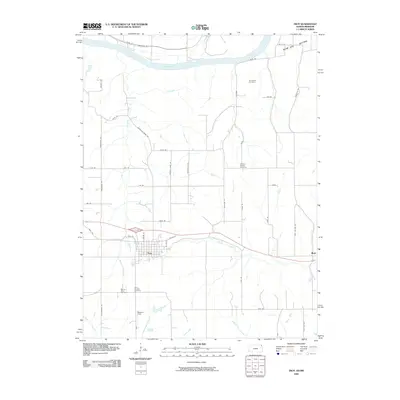
2009 Map of Troy
USGS Topo · Published 2009About this map
The street grid of Troy centers this documentation of Doniphan County, where the plateau landscape begins its descent toward the Missouri River. The survey captures the town's layout, from the intersection of Hwy 36 and N Centre St to local landmarks like Masters Field. Beyond the immediate settlement, the terrain is defined by a dense network of drainages including Mosquito Creek, Peters Creek, and Cottonwood Creek, which carve through the land before reaching the broad Burr Oak Bottom in the northeast.
Find a feature on this map
45 named features on this map. Tap any name to fly to it.
Don’t see what you’re looking for? This feature index may not catch every label — zoom into the map to look around manually.
Map Details
Editions of this 2009 Troy Map
This is the sole edition of this map. No revisions or reprints were ever made.
Other maps of this area

1885 · Atchison
USGS Topo · 1:125,000

1888 · Atchison
USGS Topo · 1:125,000

1893 · Atchison
USGS Topo · 1:125,000

1924 · St. Joseph
USGS Topo · 1:62,500

1926 · Atchison
USGS Topo · 1:62,500

1926 · Saint Joseph
USGS Topo · 1:62,500

1926 · Oregon
USGS Topo · 1:62,500

1927 · Dearborn
USGS Topo · 1:62,500

1950 · Kansas City
USGS Topo · 1:250,000

1954 · Kansas City
USGS Topo · 1:250,000