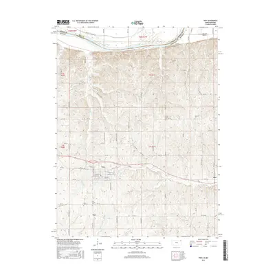
2016 Map of Troy
USGS Topo · Published 2016About this map
The Missouri River serves as the northern boundary of this Doniphan County landscape, separating Kansas from Missouri as it winds past the lowlands of Burr Oak Bottom. Further south, the town of Troy is the central hub of a rural grid system that follows the underlying topography of the Glaciated Plain. The map documents a significant concentration of commemorative sites across the township, including Saint Charles Cem, Mount Olive Cem, New Hope Cem, and the Courter Ritchey Cem.
Find a feature on this map
79 named features on this map. Tap any name to fly to it.
Don’t see what you’re looking for? This feature index may not catch every label — zoom into the map to look around manually.
Map Details
Editions of this 2016 Troy Map
This is the sole edition of this map. No revisions or reprints were ever made.
Other maps of this area

1885 · Atchison
USGS Topo · 1:125,000

1888 · Atchison
USGS Topo · 1:125,000

1893 · Atchison
USGS Topo · 1:125,000

1924 · St. Joseph
USGS Topo · 1:62,500

1926 · Atchison
USGS Topo · 1:62,500

1926 · Saint Joseph
USGS Topo · 1:62,500

1926 · Oregon
USGS Topo · 1:62,500

1927 · Dearborn
USGS Topo · 1:62,500

1950 · Kansas City
USGS Topo · 1:250,000

1954 · Kansas City
USGS Topo · 1:250,000