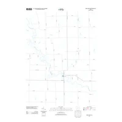
2013 Map of Troy Mills
USGS Topo · Published 2013About this map
Troy Mills serves as the central hub of this eastern Iowa landscape, situated along a prominent bend of the Wapsipinicon River. The river's meandering course dominates the southwestern portion of the map, carving through the terrain alongside numerous tributaries such as Honey Cr and Sand Cr. To the north and east, the settlement pattern shifts toward small crossroads communities like Newtonville and Atlanta, which are connected by a precise grid of rural routes including Troy Mills Blvd and Scott Blvd. This 2013 survey illustrates a classic Midwestern agricultural layout where small settlements and farmsteads are integrated with the natural hydrology of the Dry Cr and Walton Cr drainage systems.
Find a feature on this map
56 named features on this map. Tap any name to fly to it.
Don’t see what you’re looking for? This feature index may not catch every label — zoom into the map to look around manually.
Map Details
Editions of this 2013 Troy Mills Map
This is the sole edition of this map. No revisions or reprints were ever made.
Other maps of this area

1888 · Shellsburg
USGS Topo · 1:62,500

1888 · Marion
USGS Topo · 1:62,500

1889 · Marion
USGS Topo · 1:62,500

1889 · Shellsburg
USGS Topo · 1:62,500

1899 · Shellsburg
USGS Topo · 1:62,500

1903 · Winthrop
USGS Topo · 1:125,000

1959 · Dubuque
USGS Topo · 1:250,000

1961 · Dubuque
USGS Topo · 1:250,000

1962 · Dubuque
USGS Topo · 1:250,000
1968 · Central City
USGS Topo · 1:24,000