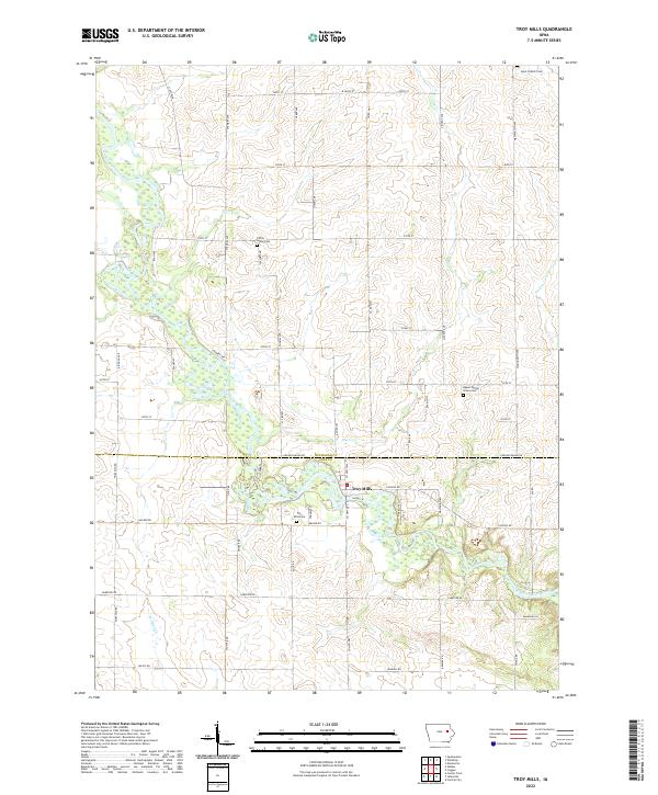
2022 Map of Troy Mills
USGS Topo · Published 2022About this map
Troy Mills sits at the heart of this landscape, positioned along the winding banks of the Wapsipinicon River near the border of Buchanan and Linn counties. The area is characterized by a high concentration of established local landmarks and family-history sites, including the Troy Mills Cem and Upper Spring Grove Cem. The map reveals a dense network of watercourses, with several tributaries such as Sand Cr and Haney Cr feeding into the main river channel.
Find a feature on this map
61 named features on this map. Tap any name to fly to it.
Don’t see what you’re looking for? This feature index may not catch every label — zoom into the map to look around manually.
Map Details
Editions of this 2022 Troy Mills Map
This is the sole edition of this map. No revisions or reprints were ever made.
Other maps of this area

1888 · Shellsburg
USGS Topo · 1:62,500

1888 · Marion
USGS Topo · 1:62,500

1889 · Marion
USGS Topo · 1:62,500

1889 · Shellsburg
USGS Topo · 1:62,500

1899 · Shellsburg
USGS Topo · 1:62,500

1903 · Winthrop
USGS Topo · 1:125,000

1959 · Dubuque
USGS Topo · 1:250,000

1961 · Dubuque
USGS Topo · 1:250,000

1962 · Dubuque
USGS Topo · 1:250,000
1968 · Central City
USGS Topo · 1:24,000