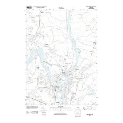
2010 Map of Troy North
USGS Topo · Published 2010About this map
Cohoes and Troy anchor this landscape at the confluence of the Hudson River and Mohawk River, where the historic Champlain Canal and Erie Canal systems once transformed the region into a global industrial hub. The intricate network of islands, including Van Schaick Island and Peebles Island, reflects a geography shaped by the massive water power of Cohoes Falls and Buttermilk Falls.
Find a feature on this map
95 named features on this map. Tap any name to fly to it.
Don’t see what you’re looking for? This feature index may not catch every label — zoom into the map to look around manually.
Map Details
Editions of this 2010 Troy North Map
This is the sole edition of this map. No revisions or reprints were ever made.
Other maps of this area

1893 · Cohoes
USGS Topo · 1:62,500

1893 · Troy
USGS Topo · 1:62,500

1893 · Schenectady
USGS Topo · 1:62,500

1893 · Albany
USGS Topo · 1:62,500

1895 · Troy
USGS Topo · 1:62,500

1895 · Cohoes
USGS Topo · 1:62,500

1895 · Albany
USGS Topo · 1:62,500

1895 · Schenectady
USGS Topo · 1:62,500

1898 · Schenectady
USGS Topo · 1:62,500

1898 · Albany
USGS Topo · 1:62,500