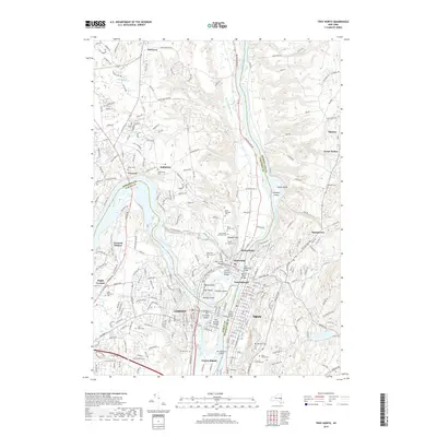
2019 Map of Troy North
USGS Topo · Published 2019About this map
The confluence of the Mohawk River and the Hudson River anchors this study of industrial and residential density in eastern New York. The landscape is defined by its complex waterway geography, featuring a series of large islands such as Peebles Island, Simmons Island, and Van Schaick Island that separate the river channels. The urban centers of Cohoes and Waterford are shown in high detail, illustrating the bridge networks and historical infrastructure like the Old Champlain Canal and Erie Canal Bridge.
Find a feature on this map
261 named features on this map. Tap any name to fly to it.
Don’t see what you’re looking for? This feature index may not catch every label — zoom into the map to look around manually.
Map Details
Editions of this 2019 Troy North Map
This is the sole edition of this map. No revisions or reprints were ever made.
Other maps of this area

1893 · Cohoes
USGS Topo · 1:62,500

1893 · Troy
USGS Topo · 1:62,500

1893 · Schenectady
USGS Topo · 1:62,500

1893 · Albany
USGS Topo · 1:62,500

1895 · Troy
USGS Topo · 1:62,500

1895 · Cohoes
USGS Topo · 1:62,500

1895 · Albany
USGS Topo · 1:62,500

1895 · Schenectady
USGS Topo · 1:62,500

1898 · Schenectady
USGS Topo · 1:62,500

1898 · Albany
USGS Topo · 1:62,500