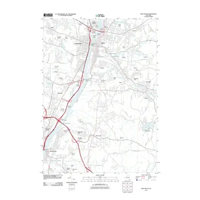
2011 Map of Troy South
USGS Topo · Published 2011About this map
The Hudson River corridor serves as the central artery for this early 21st-century landscape, dividing the riverfront industrial and residential cores of Troy, Watervliet, and Rensselaer. A dense concentration of major cemeteries, including the sprawling Albany Rural Cemetery and Saint Agnes Cemetery, dominates the western bluffs, suggesting decades of local lineage and community development. The river is punctuated by numerous islands like Starbuck Island and Patroon Island, while several major spans, such as the Patroon Island Bridge and the Dunn Memorial Bridge, facilitate modern regional transit across the waterway.
Find a feature on this map
90 named features on this map. Tap any name to fly to it.
Don’t see what you’re looking for? This feature index may not catch every label — zoom into the map to look around manually.
Map Details
Editions of this 2011 Troy South Map
This is the sole edition of this map. No revisions or reprints were ever made.
Other maps of this area

1893 · Cohoes
USGS Topo · 1:62,500

1893 · Troy
USGS Topo · 1:62,500

1893 · Schenectady
USGS Topo · 1:62,500

1893 · Albany
USGS Topo · 1:62,500

1895 · Troy
USGS Topo · 1:62,500

1895 · Cohoes
USGS Topo · 1:62,500

1895 · Albany
USGS Topo · 1:62,500

1895 · Schenectady
USGS Topo · 1:62,500

1898 · Schenectady
USGS Topo · 1:62,500

1898 · Albany
USGS Topo · 1:62,500