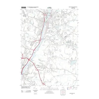
2013 Map of Troy South
USGS Topo · Published 2013About this map
The Hudson River serves as the central artery for this capital-region landscape, separating the industrial and academic corridors of South Troy and Rensselaer from the parklands and cemeteries of Menands. The eastern shore is dominated by the sprawling campus of Rensselaer Polytechnic Institute and the historic downtown of Green Island, where the Village of Green Island Water Works and Starbuck Island sit at the confluence of heavy rail and river transport.
Find a feature on this map
71 named features on this map. Tap any name to fly to it.
Don’t see what you’re looking for? This feature index may not catch every label — zoom into the map to look around manually.
Map Details
Editions of this 2013 Troy South Map
This is the sole edition of this map. No revisions or reprints were ever made.
Other maps of this area

1893 · Cohoes
USGS Topo · 1:62,500

1893 · Troy
USGS Topo · 1:62,500

1893 · Schenectady
USGS Topo · 1:62,500

1893 · Albany
USGS Topo · 1:62,500

1895 · Troy
USGS Topo · 1:62,500

1895 · Cohoes
USGS Topo · 1:62,500

1895 · Albany
USGS Topo · 1:62,500

1895 · Schenectady
USGS Topo · 1:62,500

1898 · Schenectady
USGS Topo · 1:62,500

1898 · Albany
USGS Topo · 1:62,500