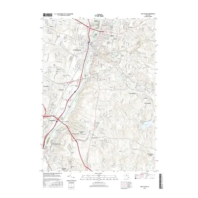
2016 Map of Troy South
USGS Topo · Published 2016About this map
The Hudson River serves as the central artery for this urban corridor, dividing the industrial and residential centers of Troy and Watervliet. This geography is defined by a dense concentration of civic and educational institutions, including the campus of Rensselaer Polytechnic Institute and the Russell Sage Coll. Numerous bridges, such as the Congress Street Bridge and Patroon Island Bridge, facilitate the flow of traffic between the river banks, while smaller waterways like Poesten Kill and Wynants Kill cut through the eastern hills, historical sites of early milling and power generation.
Find a feature on this map
68 named features on this map. Tap any name to fly to it.
Don’t see what you’re looking for? This feature index may not catch every label — zoom into the map to look around manually.
Map Details
Editions of this 2016 Troy South Map
This is the sole edition of this map. No revisions or reprints were ever made.
Other maps of this area

1893 · Cohoes
USGS Topo · 1:62,500

1893 · Troy
USGS Topo · 1:62,500

1893 · Schenectady
USGS Topo · 1:62,500

1893 · Albany
USGS Topo · 1:62,500

1895 · Troy
USGS Topo · 1:62,500

1895 · Cohoes
USGS Topo · 1:62,500

1895 · Albany
USGS Topo · 1:62,500

1895 · Schenectady
USGS Topo · 1:62,500

1898 · Schenectady
USGS Topo · 1:62,500

1898 · Albany
USGS Topo · 1:62,500