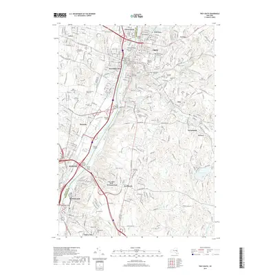
2019 Map of Troy South
USGS Topo · Published 2019About this map
The Hudson River corridor serves as the industrial and civic spine of this region, dividing Albany and Rensselaer on the western bank from the urban centers of Troy and Watervliet to the east. This landscape is a dense assembly of educational and religious institutions, including Rensselaer Polytechnic Institute, Russell Sage College, and Hudson Valley Community College. The river is punctuated by several significant landmasses, such as Starbuck Island, Breaker Island, and Patroon Island, which have historically shaped the navigation and development of these waterfront cities.
Find a feature on this map
64 named features on this map. Tap any name to fly to it.
Don’t see what you’re looking for? This feature index may not catch every label — zoom into the map to look around manually.
Map Details
Editions of this 2019 Troy South Map
This is the sole edition of this map. No revisions or reprints were ever made.
Other maps of this area

1893 · Cohoes
USGS Topo · 1:62,500

1893 · Troy
USGS Topo · 1:62,500

1893 · Schenectady
USGS Topo · 1:62,500

1893 · Albany
USGS Topo · 1:62,500

1895 · Troy
USGS Topo · 1:62,500

1895 · Cohoes
USGS Topo · 1:62,500

1895 · Albany
USGS Topo · 1:62,500

1895 · Schenectady
USGS Topo · 1:62,500

1898 · Schenectady
USGS Topo · 1:62,500

1898 · Albany
USGS Topo · 1:62,500