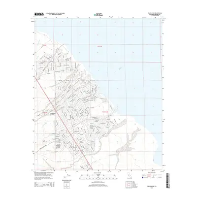
2015 Map of Truckhaven
USGS Topo · Published 2015About this map
Salton City stands at the edge of the desert, where a dense network of residential streets meets the western shoreline of the Salton Sea. This landscape is defined by the sharp contrast between the planned grid of the town and the natural, winding drainage systems of the Imperial Valley. Numerous ephemeral waterways like Amorosa Wash, Surprise Wash, and Zenas Wash cut through the terrain, illustrating the hydrological challenges of this arid region. The presence of Angel Ditch and Arroyo Salada further highlights the management of water in a basin located below sea level.
Find a feature on this map
226 named features on this map. Tap any name to fly to it.
Don’t see what you’re looking for? This feature index may not catch every label — zoom into the map to look around manually.
Map Details
Editions of this 2015 Truckhaven Map
This is the sole edition of this map. No revisions or reprints were ever made.
Other maps of this area

1904 · Indio
USGS Topo · 1:125,000

1931 · Vallecito
USGS Topo · 1:125,000

1940 · Kane Spring
USGS Topo · 1:62,500

1940 · Durmid
USGS Topo · 1:62,500

1942 · Barrel Spring
USGS Topo · 1:62,500

1942 · Agua Dulce
USGS Topo · 1:62,500

1943 · Vallecito
USGS Topo · 1:125,000

1944 · Agua Dulce
USGS Topo · 1:62,500

1944 · Durmid
USGS Topo · 1:62,500

1944 · Kane Spring
USGS Topo · 1:62,500