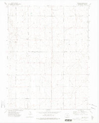
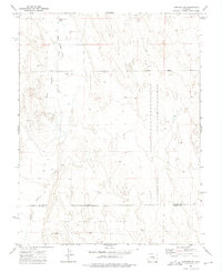
1973 Map of Truckton
USGS Topo · Published 1975About this map
The high plains of eastern El Paso County are defined here by a systematic grid of section lines and gravel roads, centered on the small settlement of Truckton. Surveyed in the early 1970s, the landscape is primarily agricultural, punctuated by numerous Gravel Pits and isolated water sources like the Well located in the western reaches. The local infrastructure is oriented around a network of named thoroughfares including Truckton Road and Yoder Road, which intersect at the town site. Distinctive landmarks are sparse in this terrain, though Signal Rock and a nearby Radio Tower provide rare vertical relief and navigational points. The map also records several family-named routes such as Lauppe Road and North Neely Road, suggesting the long-standing influence of local ranching and farming operations on the regional geography.
Find a feature on this map
12 named features on this map. Tap any name to fly to it.
Don’t see what you’re looking for? This feature index may not catch every label — zoom into the map to look around manually.
Map Details
Editions of this 1973 Truckton Map
2 editions found
Other maps of this area

1893 · Big Springs
USGS Topo · 1:125,000

1954 · Pueblo
USGS Topo · 1:250,000

1957 · Pueblo
USGS Topo · 1:250,000

1958 · Pueblo
USGS Topo · 1:250,000

1962 · Pueblo
USGS Topo · 1:250,000

1966 · Pueblo
USGS Topo · 1:250,000
1973 · Hanover NE
USGS Topo · 1:24,000
1973 · Truckton
USGS Topo · 1:24,000
1973 · Truckton SE
USGS Topo · 1:24,000
1973 · Hanover SE
USGS Topo · 1:24,000