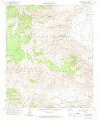
1959 Map of Tubb Canyon
USGS Topo · Published 1966About this map
Anza-Borrego Desert State Park dominates this desert landscape, where water sources dictate the movement of travelers and settlers alike. This mid-century survey reveals a network of vital watering holes and seeps tucked into the arid topography, including Bubbling Spring, Cottonwood Spring, and the uniquely named Hellhole Palms near Maidenhair Falls. The map documents a rugged era of desert navigation before extensive modern development, centered around Tubb Canyon and the Grapevine Hills.
Find a feature on this map
43 named features on this map. Tap any name to fly to it.
Don’t see what you’re looking for? This feature index may not catch every label — zoom into the map to look around manually.
Map Details
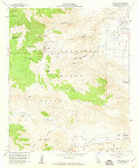
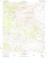
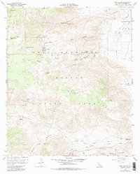
Editions of this 1959 Tubb Canyon Map
4 editions found
Other maps of this area

1903 · Ramona
USGS Topo · 1:125,000

1904 · Indio
USGS Topo · 1:125,000

1904 · Southern California Sheet No. 2
USGS Topo · 1:250,000

1931 · Vallecito
USGS Topo · 1:125,000

1939 · Warner Springs
USGS Topo · 1:62,500

1939 · Santa Ysabel
USGS Topo · 1:62,500

1939 · Borrego
USGS Topo · 1:62,500

1941 · Clark Lake
USGS Topo · 1:62,500

1942 · Clark Lake
USGS Topo · 1:62,500

1942 · Borego
USGS Topo · 1:62,500