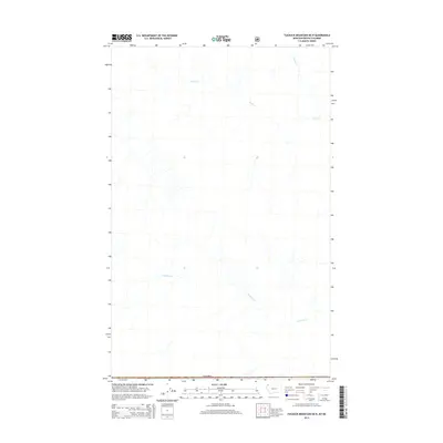
2014 Map of Tuchuck Mountain OE N
USGS Topo · Published 2014About this map
Canada and the international border define the southern edge of this high-latitude survey, which focuses on the remote drainage systems of the East Kootenay region. The landscape is primarily shaped by the headwaters and tributaries of several major creeks, most notably Couldrey Cr and Cabin Cr. These waterways cut through the high-elevation terrain, with Storm Cr appearing in the northern reaches of the quadrangle. The lack of infrastructure or named human settlements highlights the wilderness character of this area near the Montana-British Columbia boundary, where topographic variations and water drainage patterns provide the primary navigational landmarks for this 2014 mapping.
Find a feature on this map
4 named features on this map. Tap any name to fly to it.
Don’t see what you’re looking for? This feature index may not catch every label — zoom into the map to look around manually.
Map Details
Editions of this 2014 Tuchuck Mountain OE N Map
This is the sole edition of this map. No revisions or reprints were ever made.
Other maps of this area

1913 · Stryker
USGS Topo · 1:125,000

1916 · Stryker
USGS Topo · 1:125,000

1957 · Kalispell
USGS Topo · 1:250,000

1960 · Kalispell
USGS Topo · 1:250,000

1961 · Kalispell
USGS Topo · 1:250,000

1963 · Stahl Peak
USGS Topo · 1:24,000

1966 · Mount Hefty
USGS Topo · 1:24,000
1966 · Tuchuck Mountain
USGS Topo · 1:24,000
1981 · Whitefish Range
USGS Topo · 1:100,000
1994 · Tuchuck Mountain
USGS Topo · 1:24,000