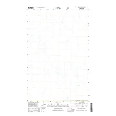
2017 Map of Tuchuck Mountain OE N
USGS Topo · Published 2017About this map
Frozen Lake sits at the southern edge of this 2017 survey, marking the high-elevation international boundary between Montana and British Columbia. This map, produced by the U.S. Geological Survey, focuses on the remote drainage basins north of the border, where the terrain is defined by the headwaters of several prominent creeks. Couldrey Cr dominates the southern half of the quadrangle, while Cabin Cr and its tributary Storm Cr carve through the northern section. The absence of roads or named settlements emphasizes the wilderness character of the region during the early 21st century, providing a clear record of the untouched natural hydrography along this segment of the Canadian border.
Find a feature on this map
5 named features on this map. Tap any name to fly to it.
Don’t see what you’re looking for? This feature index may not catch every label — zoom into the map to look around manually.
Map Details
Editions of this 2017 Tuchuck Mountain OE N Map
This is the sole edition of this map. No revisions or reprints were ever made.
Other maps of this area

1913 · Stryker
USGS Topo · 1:125,000

1916 · Stryker
USGS Topo · 1:125,000

1957 · Kalispell
USGS Topo · 1:250,000

1960 · Kalispell
USGS Topo · 1:250,000

1961 · Kalispell
USGS Topo · 1:250,000

1963 · Stahl Peak
USGS Topo · 1:24,000

1966 · Mount Hefty
USGS Topo · 1:24,000
1966 · Tuchuck Mountain
USGS Topo · 1:24,000
1981 · Whitefish Range
USGS Topo · 1:100,000
1994 · Tuchuck Mountain
USGS Topo · 1:24,000