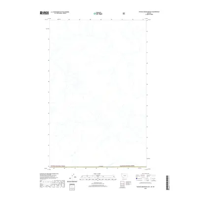
2020 Map of Tuchuck Mountain OE N
USGS Topo · Published 2020About this map
Kootenai National Forest and Flathead National Forest converge along the northern edge of this Montana quadrangle, where the administrative boundaries meet the international border of Canada. This remote landscape is defined primarily by its hydrologic network and the conservation of vast timberlands under the jurisdiction of the U.S. Forest Service. The map details the intricate drainage patterns that characterize this high-elevation region, illustrating the headwaters and tributaries that carve through the protected wilderness just south of the Canadian line. For researchers focused on public land management or the environmental history of the northern Rockies, this sheet offers a precise representation of the shared borders and natural watersheds within two of the Pacific Northwest’s most significant national forests.
Find a feature on this map
3 named features on this map. Tap any name to fly to it.
Don’t see what you’re looking for? This feature index may not catch every label — zoom into the map to look around manually.
Map Details
Editions of this 2020 Tuchuck Mountain OE N Map
This is the sole edition of this map. No revisions or reprints were ever made.
Other maps of this area

1913 · Stryker
USGS Topo · 1:125,000

1916 · Stryker
USGS Topo · 1:125,000

1957 · Kalispell
USGS Topo · 1:250,000

1960 · Kalispell
USGS Topo · 1:250,000

1961 · Kalispell
USGS Topo · 1:250,000

1963 · Stahl Peak
USGS Topo · 1:24,000

1966 · Mount Hefty
USGS Topo · 1:24,000
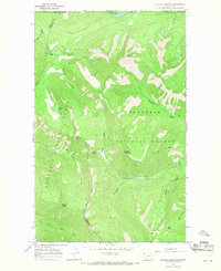
1966 · Tuchuck Mountain
USGS Topo · 1:24,000
1981 · Whitefish Range
USGS Topo · 1:100,000
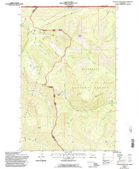
1994 · Tuchuck Mountain
USGS Topo · 1:24,000