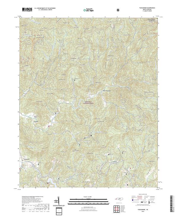
2022 Map of Tuckasegee
USGS Topo · Published 2022About this map
Tuckasegee and the surrounding high country of the Nantahala National Forest are defined by sharp ridges and a dense network of mountain streams. This landscape is marked by high-elevation landmarks such as Snaggy Bald, Choga Butt Knob, and Hickory Flat Knob. Settlement patterns follow the winding paths of watercourses like Caney Fork and Moses Creek, where small communities and family burial grounds are established on the more accessible slopes.
Find a feature on this map
113 named features on this map. Tap any name to fly to it.
Don’t see what you’re looking for? This feature index may not catch every label — zoom into the map to look around manually.
Map Details
Editions of this 2022 Tuckasegee Map
This is the sole edition of this map. No revisions or reprints were ever made.
Other maps of this area

1891 · Cowee
USGS Topo · 1:125,000

1897 · Cowee
USGS Topo · 1:125,000

1905 · Pisgah
USGS Topo · 1:125,000

1906 · Pisgah
USGS Topo · 1:125,000

1907 · Cowee
USGS Topo · 1:125,000

1935 · Waynesville
USGS Topo · 1:24,000

1935 · Sam Knob
USGS Topo · 1:24,000

1935 · Tuckaseigee
USGS Topo · 1:24,000

1935 · Hazelwood
USGS Topo · 1:24,000

1935 · Lake Toxaway
USGS Topo · 1:24,000