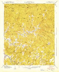
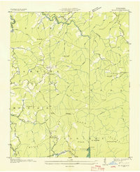
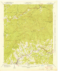
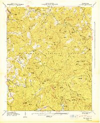
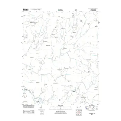
1947 Map of Tuckasegee
USGS Topo · Published 1947About this map
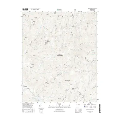
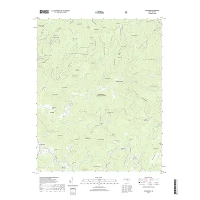
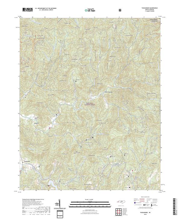
Nantahala National Forest covers much of this Jackson County landscape, where the Tuckasegee River meets a network of steep mountain branches. The settlement at Tuckasegee serves as a local hub near the Woodring Cem, while remote communities like Argura and Cowarts are situated along the winding valley floor. Cultural landmarks including the Judaculla Rock and numerous family burying grounds, such as Stephenson Cem and Queen Cem, are documented alongside rural institutions like the Caney Fork Sch and Oak Hill Sch. The topography is defined by high gaps and ridges, with Wolfpen Gap and Mayapple Gap providing passage through the heavy terrain. This survey reflects a mid-century mountain economy transitioning into its modern role as a protected forest area, capturing the exact location of Catherine Chapel and Balsam Grove Ch before later development.
Find a feature on this map
97 named features on this map. Tap any name to fly to it.
Don’t see what you’re looking for? This feature index may not catch every label — zoom into the map to look around manually.
Map Details
Editions of this 1947 Tuckasegee Map
2 editions found
Historical Maps of Cowarts Through Time
44 maps found

1891 Cowee
Jackson County, NC
1897 Cowee
Jackson County, NC
1907 Cowee
Jackson County, NC

1935 Addie
Jackson County, NC
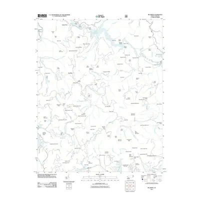
1935 Big Ridge
Jackson County, NC

1935 Tuckaseigee
Jackson County, NC

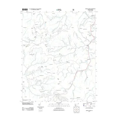
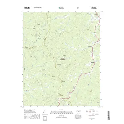
1936 Greens Creek
Jackson County, NC
1940 Greens Creek
Jackson County, NC
1941 Addie
Jackson County, NC
1941 Greens Creek
Jackson County, NC
1942 Addie
Jackson County, NC
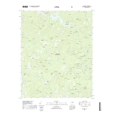
1946 Big Ridge
Jackson County, NC
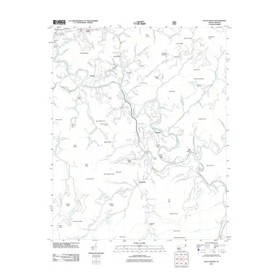
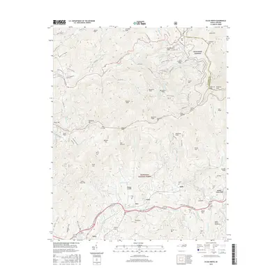
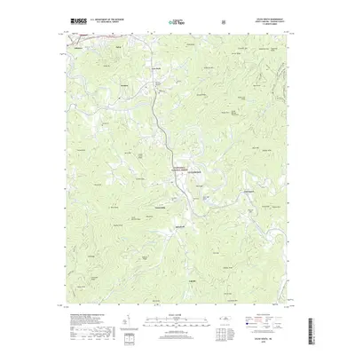
1946 Sylva South
Jackson County, NC
1946 Tuckasegee
Jackson County, NC
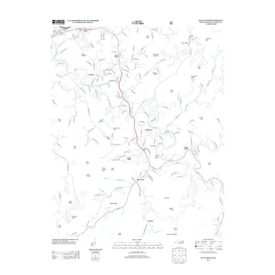
1947 Big Ridge
Jackson County, NC
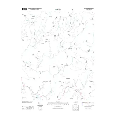
1947 Tuckasegee
Jackson County, NC
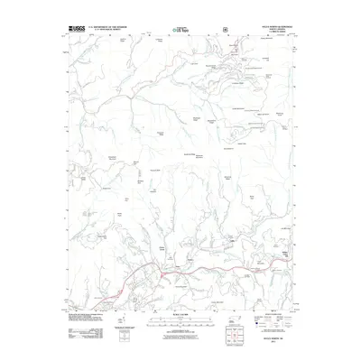
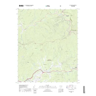
1967 Sylva North
Jackson County, NC
1997 Tuckasegee
Jackson County, NC
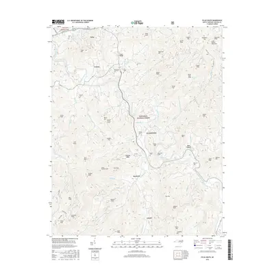
2000 Sylva South
Jackson County, NC
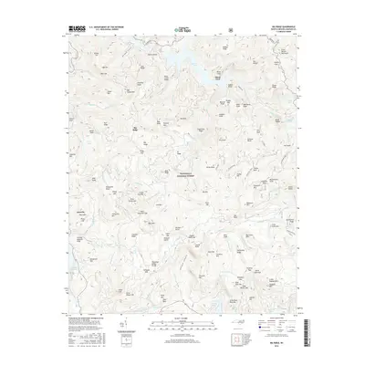
2011 Big Ridge
Jackson County, NC
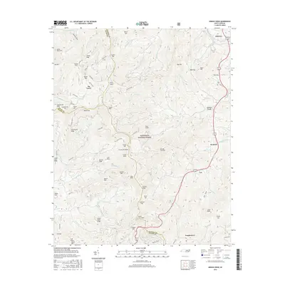
2011 Greens Creek
Jackson County, NC
2011 Sylva North
Jackson County, NC
2011 Sylva South
Jackson County, NC
2011 Tuckasegee
Jackson County, NC
2013 Big Ridge
Jackson County, NC
2013 Greens Creek
Jackson County, NC
2013 Sylva North
Jackson County, NC
2013 Sylva South
Jackson County, NC
2013 Tuckasegee
Jackson County, NC
2016 Big Ridge
Jackson County, NC
2016 Greens Creek
Jackson County, NC
2016 Sylva North
Jackson County, NC
2016 Sylva South
Jackson County, NC
2016 Tuckasegee
Jackson County, NC
2019 Big Ridge
Jackson County, NC
2019 Greens Creek
Jackson County, NC
2019 Sylva North
Jackson County, NC
2019 Sylva South
Jackson County, NC
2019 Tuckasegee
Jackson County, NC
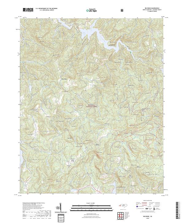
2022 Big Ridge
Jackson County, NC
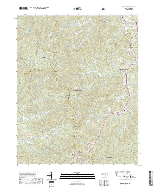
2022 Greens Creek
Jackson County, NC
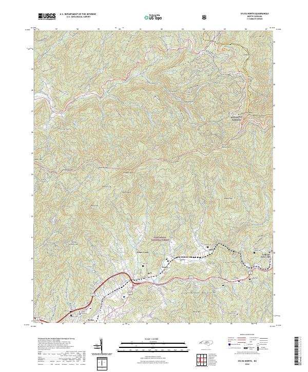
2022 Sylva North
Jackson County, NC
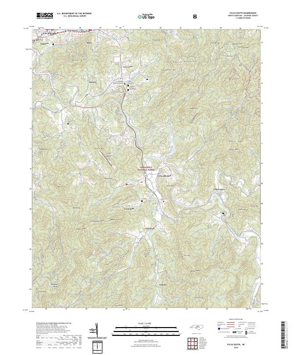
2022 Sylva South
Jackson County, NC
2022 Tuckasegee
Jackson County, NC