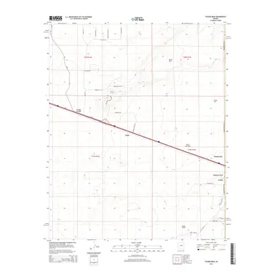
2014 Map of Tucker Mesa
USGS Topo · Published 2014About this map
Tucker Mesa and the surrounding high desert terrain dominate this 2014 survey of the area northwest of Winslow. The landscape is defined by its infrastructure and scattered settlements, where Az-99 cuts a long diagonal path across the quadrangle, passing through Leupp Corner and Moqui. These small communities serve as landmarks in an arid expanse that includes notable features like Tucker Flat and the Tucker Flat Wash.
Find a feature on this map
30 named features on this map. Tap any name to fly to it.
Don’t see what you’re looking for? This feature index may not catch every label — zoom into the map to look around manually.
Map Details
Editions of this 2014 Tucker Mesa Map
This is the sole edition of this map. No revisions or reprints were ever made.
Other maps of this area

1883 · Tusayan
USGS Topo · 1:250,000

1886 · Tusayan
USGS Topo · 1:250,000

1886 · Holbrook
USGS Topo · 1:250,000

1893 · Holbrook
USGS Topo · 1:250,000

1947 · Flagstaff
USGS Topo · 1:250,000

1954 · Winslow
USGS Topo · 1:62,500

1954 · Winslow 4 NW
USGS Topo · 1:24,000

1954 · Winslow 4 SW
USGS Topo · 1:24,000

1954 · Flagstaff
USGS Topo · 1:250,000

1954 · Holbrook
USGS Topo · 1:250,000