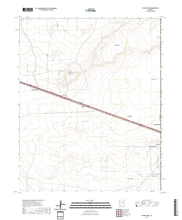
2021 Map of Tucker Mesa
USGS Topo · Published 2021About this map
The Winslow periphery in Coconino County reveals a transition from urban development to open Arizona high desert. This 2021 survey details the western expansion of the area, featuring newer residential pockets like Winslow West and LeChee alongside established transportation corridors. Interstate 40 and its accompanying Frontage Rd serve as the primary east-west artery, connecting the community to rural nodes such as Moqui and Leupp Corner. The landscape is defined by its subtle topographic shifts, from the elevated Tucker Mesa and the drainage of Tucker Flat Wash in the north to the Toltec Divide in the south. The grid of local roads, including Hunt Rd and Wellfield Rd, indicates a mix of infrastructure and rural access points that characterize the modern development of this Coconino plateau region.
Find a feature on this map
21 named features on this map. Tap any name to fly to it.
Don’t see what you’re looking for? This feature index may not catch every label — zoom into the map to look around manually.
Map Details
Editions of this 2021 Tucker Mesa Map
This is the sole edition of this map. No revisions or reprints were ever made.
Other maps of this area

1883 · Tusayan
USGS Topo · 1:250,000

1886 · Tusayan
USGS Topo · 1:250,000

1886 · Holbrook
USGS Topo · 1:250,000

1893 · Holbrook
USGS Topo · 1:250,000

1947 · Flagstaff
USGS Topo · 1:250,000

1954 · Winslow
USGS Topo · 1:62,500

1954 · Winslow 4 NW
USGS Topo · 1:24,000

1954 · Winslow 4 SW
USGS Topo · 1:24,000

1954 · Flagstaff
USGS Topo · 1:250,000

1954 · Holbrook
USGS Topo · 1:250,000