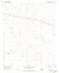
1968 Map of Tucker Mesa SW
USGS Topo · Published 1973About this map
Meteor City and the small siding of Dennison anchor the northern landscape along the Atchison Topeka and Santa Fe railroad in the late 1960s. This arid corridor in Coconino County is defined by its transit infrastructure and ranching outposts, where survival depends on a network of scattered water sources such as Mud Lake, Pitchfork Tank, and Ogilvie Well. The presence of the Chilson Landing Strip and the Sunshine Overpass near Cow Canyon highlights the intersection of local aviation and interstate travel routes. Further south, Meteor Crater Ranch sits amidst a network of jeep trails and quarries, marking a remote area where industrial activity and cattle ranching coexist. The map's detailed plotting of minor dams and tanks like Boulder Dam and Bull Tank provides a clear view of the water management essential for desert habitation and industry during this era.
Find a feature on this map
23 named features on this map. Tap any name to fly to it.
Don’t see what you’re looking for? This feature index may not catch every label — zoom into the map to look around manually.
Map Details
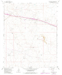
Editions of this 1968 Tucker Mesa SW Map
2 editions found
Other maps of this area

1883 · Tusayan
USGS Topo · 1:250,000

1886 · Tusayan
USGS Topo · 1:250,000

1886 · San Francisco Mtns
USGS Topo · 1:250,000

1886 · Holbrook
USGS Topo · 1:250,000

1887 · Verde
USGS Topo · 1:250,000

1891 · San Francisco Mtns
USGS Topo · 1:250,000

1892 · Verde
USGS Topo · 1:250,000

1893 · Holbrook
USGS Topo · 1:250,000

1894 · San Francisco Mtns
USGS Topo · 1:250,000

1899 · San Francisco Mtns
USGS Topo · 1:250,000