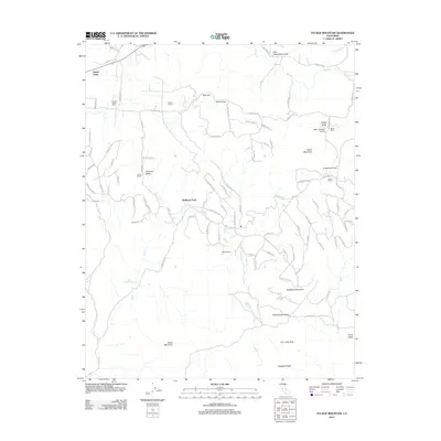
2012 Map of Tucker Mountain
USGS Topo · Published 2012About this map
Squaw Valley and Drum Valley anchor this Central California landscape, where private ranching estates define the local land-use patterns. Named properties such as the Stoddard Ranch, Nance Ranch, and Rector Ranch are connected by a network of winding roads like Ruth Hill Rd and Squaw Valley Rd. For local history and genealogy research, the Squaw Valley Cem provides a specific point of interest, while the Baker and Hall Airport marks a modern infrastructure hub in the eastern portion of the quadrangle.
Find a feature on this map
87 named features on this map. Tap any name to fly to it.
Don’t see what you’re looking for? This feature index may not catch every label — zoom into the map to look around manually.
Map Details
Editions of this 2012 Tucker Mountain Map
This is the sole edition of this map. No revisions or reprints were ever made.
Other maps of this area

1921 · Squaw Valley
USGS Topo · 1:31,680

1921 · Stokes Mountain
USGS Topo · 1:24,000

1922 · Trimmer
USGS Topo · 1:96,000

1923 · Sultana
USGS Topo · 1:31,680

1924 · Citrus Cove
USGS Topo · 1:31,680

1924 · Dinuba
USGS Topo · 1:125,000

1924 · Stokes Mountain
USGS Topo · 1:31,680

1942 · Watts Valley
USGS Topo · 1:62,500

1942 · Dunlap
USGS Topo · 1:62,500

1944 · Watts Valley
USGS Topo · 1:62,500