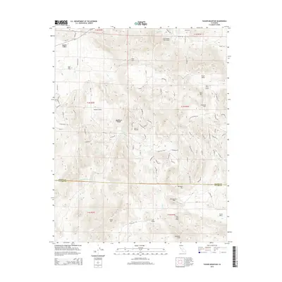
2015 Map of Tucker Mountain
USGS Topo · Published 2015About this map
Squaw Valley serves as a primary settlement point at the edge of the foothills, where the rural landscape of Fresno County meets the rising Sierra Nevada. The terrain is defined by a series of named peaks and high-elevation valleys, including Shannon Valley and Little White Deer Valley, which provide natural corridors through the varied topography. A notable transit point for local aviation is the Baker & Hall Airport, while family and community history is anchored at the Squaw Valley Cem.
Find a feature on this map
92 named features on this map. Tap any name to fly to it.
Don’t see what you’re looking for? This feature index may not catch every label — zoom into the map to look around manually.
Map Details
Editions of this 2015 Tucker Mountain Map
This is the sole edition of this map. No revisions or reprints were ever made.
Other maps of this area

1921 · Squaw Valley
USGS Topo · 1:31,680

1921 · Stokes Mountain
USGS Topo · 1:24,000

1922 · Trimmer
USGS Topo · 1:96,000

1923 · Sultana
USGS Topo · 1:31,680

1924 · Citrus Cove
USGS Topo · 1:31,680

1924 · Dinuba
USGS Topo · 1:125,000

1924 · Stokes Mountain
USGS Topo · 1:31,680

1942 · Watts Valley
USGS Topo · 1:62,500

1942 · Dunlap
USGS Topo · 1:62,500

1944 · Watts Valley
USGS Topo · 1:62,500