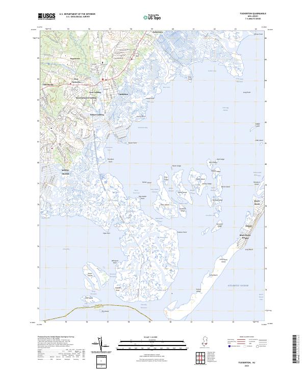
2023 Map of Tuckerton
USGS Topo · Published 2023About this map
Tuckerton and the surrounding marshlands of the Little Egg Harbor define this coastal landscape, where the intricate network of tidal channels and sedges meets the mainland. This modern survey illustrates the complex geography of the Jersey Shore, featuring the developed residential canals of Mystic Island and the traditional waterfronts of Scow Landing and West Tuckerton Landing. The mainland settlements, including Parkertown, Nugentown, and Giffordtown, are concentrated along the historical corridor of Co Rd 539 and W Main St, while the barrier island communities of Beach Haven and Holgate stand exposed to the Atlantic. Notable landmarks for local historians include the Greenwood Cem and the edge of the Bass River State Forest, while the interior marshes are marked by family-named features like Johnny Sedge and Hester Sedge, indicating the long-standing human presence in these wetlands.
Find a feature on this map
99 named features on this map. Tap any name to fly to it.
Don’t see what you’re looking for? This feature index may not catch every label — zoom into the map to look around manually.
Map Details
Editions of this 2023 Tuckerton Map
This is the sole edition of this map. No revisions or reprints were ever made.
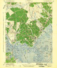
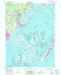
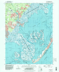
Historical Maps of Paradise Cove Through Time
4 maps found
Featured Locations
- Galloway Township, NJ
- Eagleswood Township, NJ
- Little Egg Harbor Township, NJ
- Long Beach Township, NJ
- Tuckerton, NJ